2006 Grose Valley Fires…dodgy report
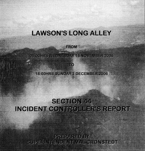
Monday, September 6th, 2010The official RFS Section 44 Report into the 2006 Grose Valley Fires found that “there (were) not sufficient RAFT crews” despite multiple spot fires in difficult terrain and “the likelihood of fire escape during severe fire weather (being) certain.”
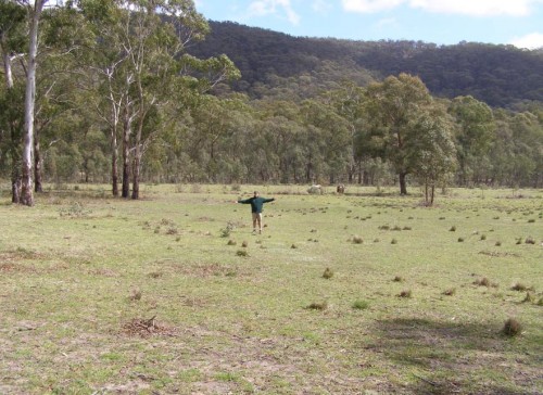
“Suspected” dry lightning sparked two ignitions last November on Monday 13, one oddly mapped to a grass paddock within easy fire truck access off Walton’s Road, Hartley Vale. But these fires were “not detected until the following day.” On Tuesday 14, with a gusting westerly and a fire index of 25, numerous spot fires had progressed into steep bushland inaccessible to fire truck crews. Despite it becoming apparent to fire authorities that these fires “would present problems beyond the resources available locally”, the decision to declare a Section 44 escalated response wasn’t taken until Wednesday 15.
Multiple broad-acre backburning became the “fall-back strategies” despite “spot-over” fires occurring “some 12 kilometres distant from the main fire” north of Linden, showing up backburning as ineffectual. A new burn was lit along Hungerford Track inside the Grose and “aerial incendiary” was dropped “north of Blackheath on Sunday 19. An RFS burn south of Bells Line of Road became “a concern” on Wednesday 22 (“blow-up day”) before it coalesced with the wildfires into “a major run” through the Grose Valley. A massive 6km pyro-cumulous cloud developed “visible from much of the Sydney basin”. Some 14,070 hectares of bush habitat had been burnt.
The report documents insufficient aerial support, “deployment was less than satisfactory”, “radio communications (were) poor”, bulldozer contractors were unsupervised and RFS RAFT crew standards “were questioned”.
Lack of early detection resources, of rapid initial suppression and ineffective resource management were inferred as key operational concerns behind the Grose Fire. Surely, fire fighters protecting both community and public assets deserve first class management, resources and funding.
 ‘Silverdale‘ property south of Hartley Vale. Editor standing at the exact Grid Reference GR 442842 documented by the New South Wales Rural Fire Service Section 44 Report’s ‘official’ location of the ignition of the Lawsons Long Alley bushfire which ‘officially’ was struck by lightning and caused the devastating 14,070 hectare Grose Valley Fires in the Greater Blue Mountains World Heritage Area of November 2006. (Bollocks!)
Doubtful? Check the Lawsons Long Alley Section 44 Report 20070208.pdf


